MIDST GIS
MIDST GIS
Modeling Infectious Disease in Space and Time; a study by Eric Delmelle
  • Home
  • News
  • Research Team
  • Computer Rescources

Latest News

  • Updated Research Team Page
  • Hello!

Research Team

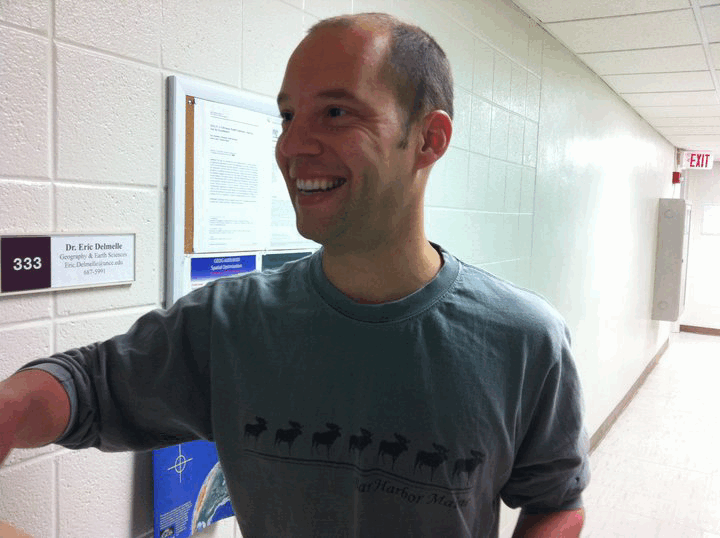
Eric Delmelle


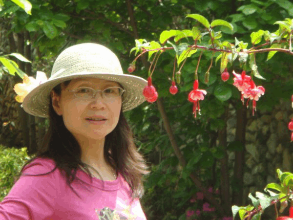
Meijuan Jia

Research Interest

GIS (Geographic Information System); Urban Regional Analysis and Planning; Transportation Systems; Spatial Analysis; Agent-based Modeling

Education

M.A. in Geography.

Department of Geography and Earth Sciences, UNC Charlotte, Jan. 2012 — Present

M.S. in Applied Mathematics:

College of Mathematics, Qingdao University, Sep. 2006 — May. 2009

B.S. in Information and Computing Science:

Sep. 2002 — Jul. 2006; College of Mathematics, Qingdao

Responsibility With Dengue Research

Using Agent-based modeling method to simulate the spread of dengue disease.


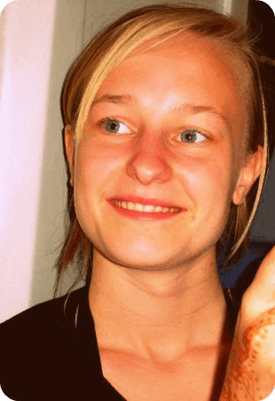
Coline Donny

Education:

2011 – 2013 – M.A. Geogrpahy: Urban-Regional Analysis at the University of North Carolina at Charlotte (UNCC)
2009 – 2011 – M.S. Geography: Spatial Analysis of the Environment & GIS  from the Interuniversity program at Free University of Brussels (VUB) and the Catholic University of Leuven (KUL)
2005 – 2009 – B.S. Geography: GIS profile at the Free University of Brussels (VUB)

I am currently a master student at UNC Charlotte and would like to converge more into the field of Health Geography and Spatial Epidemiology. I am a Research Assistant on the Dengue fever Research Group where my task involves the understanding of the dengue vector in more detail and its implications on the spread of the desease among humans. This wil enable us to support the implementation of an Agent-Based Model for Dengue as well as supporting the interpretation of our results.
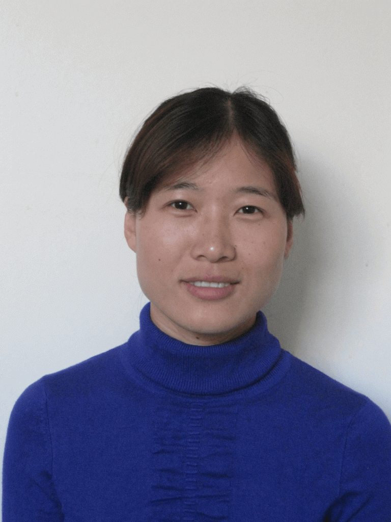


Hongmei Zhu

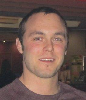
Griffen Angel

Education:
B.A. Psychology – Appalachian State University (2001)
B.A. Geography – University of North Carolina At Charlotte (2011)
I am currently a first-semester master’s student here at UNCC, specializing in Geographic Information Science. Since being involved in the MIDST project, my role has been to develop code (using Python) that will take list values of 3D coordinate data and calculate another list of values which display a 3D kernel density image in Voxler.

Luke Browder

Leave a Reply Cancel reply

You must be logged in to post a comment.

  • Alerts
  • Jobs
  • Make a Gift
  • Maps / Directions
  • Accessibility IconAccessibility
Follow UNC Charlotte
Facebook Blogger Twitter Flickr YouTube
The University of North Carolina at Charlotte 9201 University City Blvd., Charlotte, NC 28223-0001 · 704-687-UNCC (8622) © 2014 UNC Charlotte | All Rights Reserved | Terms of Use | Policy Statements | Contact Us
Skip to toolbar
  • Log In