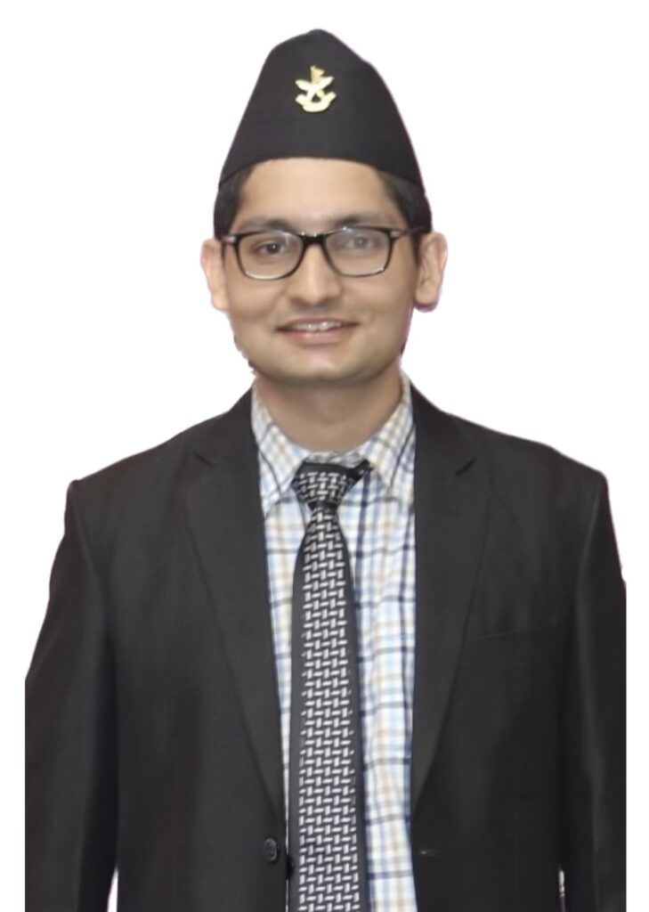
Education:
Ph.D. Geography, UNC Charlotte, Current
M.S. GIS, Clark University, 2023
B.S. Forestry, Institute of Forestry, Pokhara, 2018
Research Interests:
• Utilizing deep learning techniques in urban areas
• GIS applications, remote sensing, programming, and data analysis
Profile:
Ravi is currently pursuing his Ph.D., focusing on the application of deep learning methods to high-resolution imagery in urban areas. During his Master’s in GIS at Clark University, he worked on research involving crop analysis, deep learning, and machine learning techniques. He also completed an internship that involved using drones for data collection, contributing to effective and sustainable agricultural practices. His practical knowledge encompasses a range of software applications, including ArcGIS Pro, ArcMap, GitHub, QGIS, TerrSet, Erdas Imagine, Google Earth, OpenStreetMap, Python, R programming, and SQL. Additionally, Ravi actively supported humanitarian operations during the Turkey-Syria Earthquake by participating in a mapathon for emergency aid and volunteering with OpenStreetMap (OSM) to assist in relief efforts.